- Wishlist
- Sign Up
- My Cart (0)
Shopping Cart
Your cart is empty
You have no items in your shopping cart.
Continue Shopping
Let's go buy something!

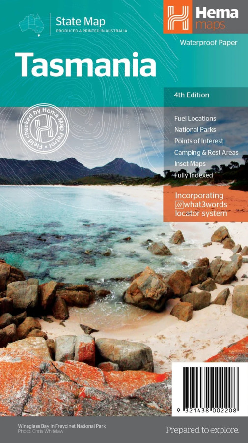
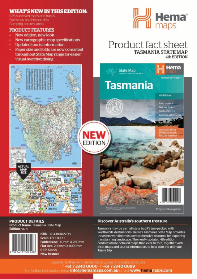
Hema Tasmania State Map Large
$15.95Discover the wild, rugged beauty of Tasmania with the detailed and reliable Hema Tasmania State Map — your ultimate travelling companion for touring, hiking and exploring Australia’s island state.
The fourth edition of Hema’s Tasmania State Map features Hema’s distinctive and informative maps fully, all of which have been field checked by Hema’s Map Patrol to ensure the best possible accuracy with the latest mapping data.
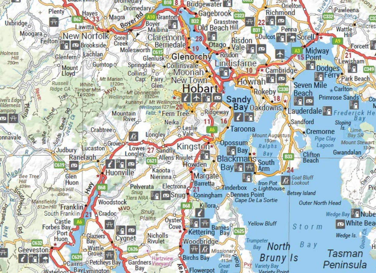
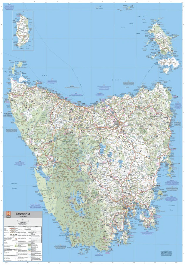
A fully indexed state map of Tasmania (TAS) at a scale of 1:500,000. Marked on the mapping are national parks, fuel locations as well as camping and rest areas.
Tasmania is located off the southeast corner of mainland Australia. It is Australia’s smallest state in terms of both size and population, yet is a major tourist attraction due to the diverse and spectacular scenery, unspoilt wilderness, fantastic food and wine and heritage and cultural sites.
Key Features
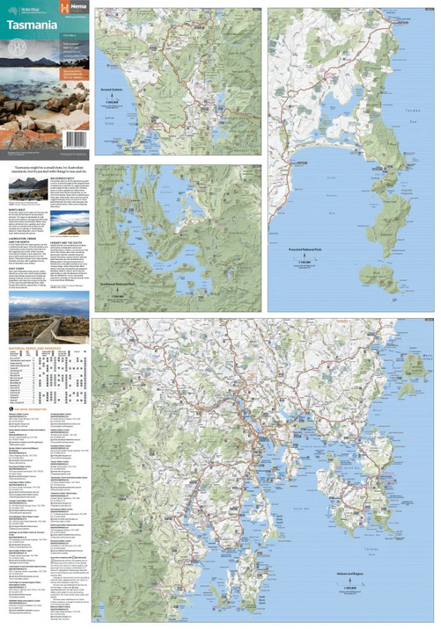
a summary of the key things to see and do broken up into the North West, Launceston, Tamar and the North
a table listing of National Parks and Reserves with key features and facilities (such as Camping and Caravan sites, BBQ, toilets and showers)
Visitor centre listing
Map of the area around Zeehan and Queenstown at 1:250,000 scale (including Lake St Claire and Franklin-Gordon Rivers National Parks)
Map of Freycinet National Park at 1:125,000 scale
Map of Southwest National Park at 1:200,000 scale
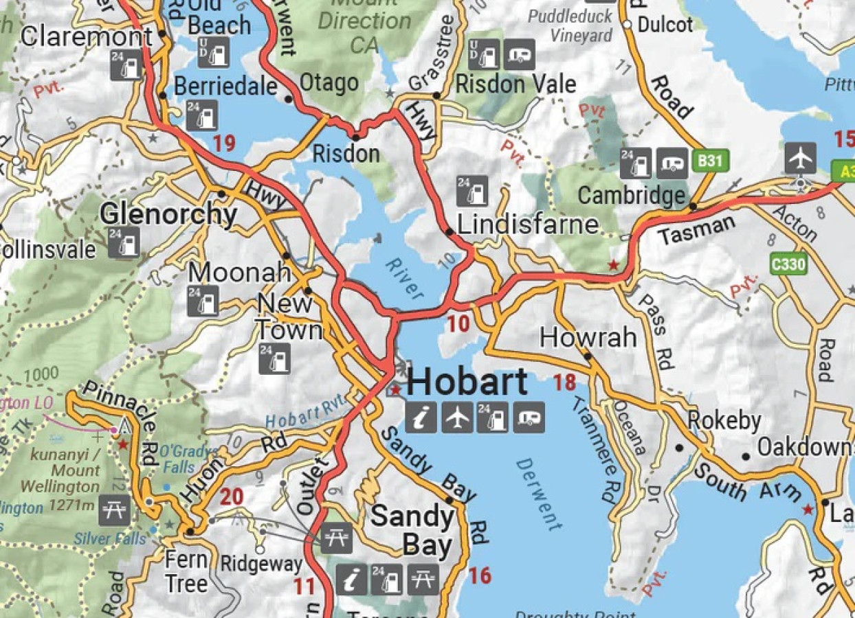
Map of Hobart & Region at 1:250,000 scale (including petrol stations, information centres and rest stops marked)
- Description
Folded Size
140mm x 250mm x 3mm
Flat Size
700mm x 1,000mm
Weight
0.068Kg
Paper
Waterproof Paper
Publisher
Hema Maps
Related Products
Craigie
Maps $16.00
Davies Plain
Maps $16.00
Oberon 1:25000 topo
Maps $20.00
Cowra Creek
Maps $16.00
Greg Greg
Maps $16.70