- Wishlist
- Sign Up
- My Cart (0)
Shopping Cart
Your cart is empty
You have no items in your shopping cart.
Continue Shopping
Let's go buy something!

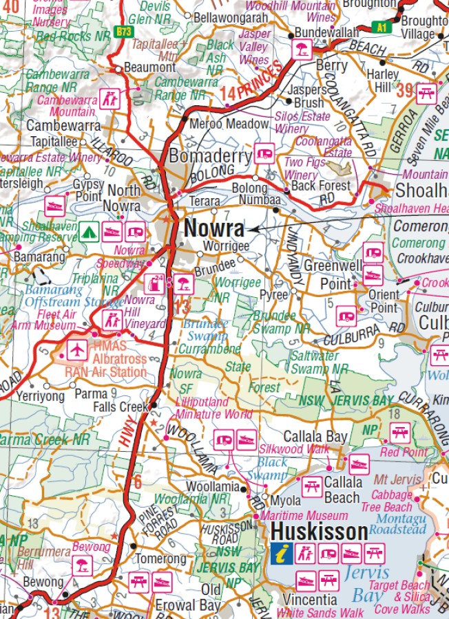
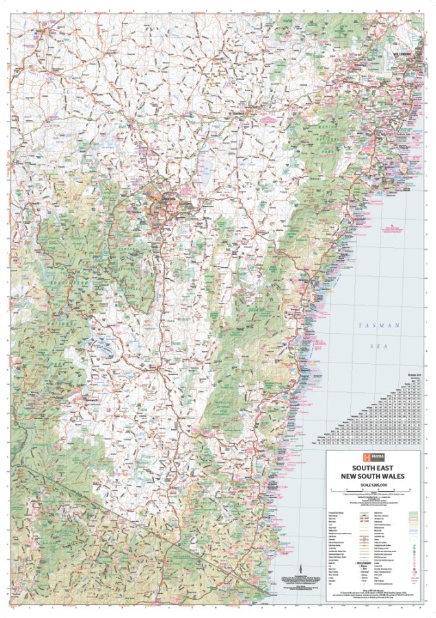
Hema South East New South Wales Map
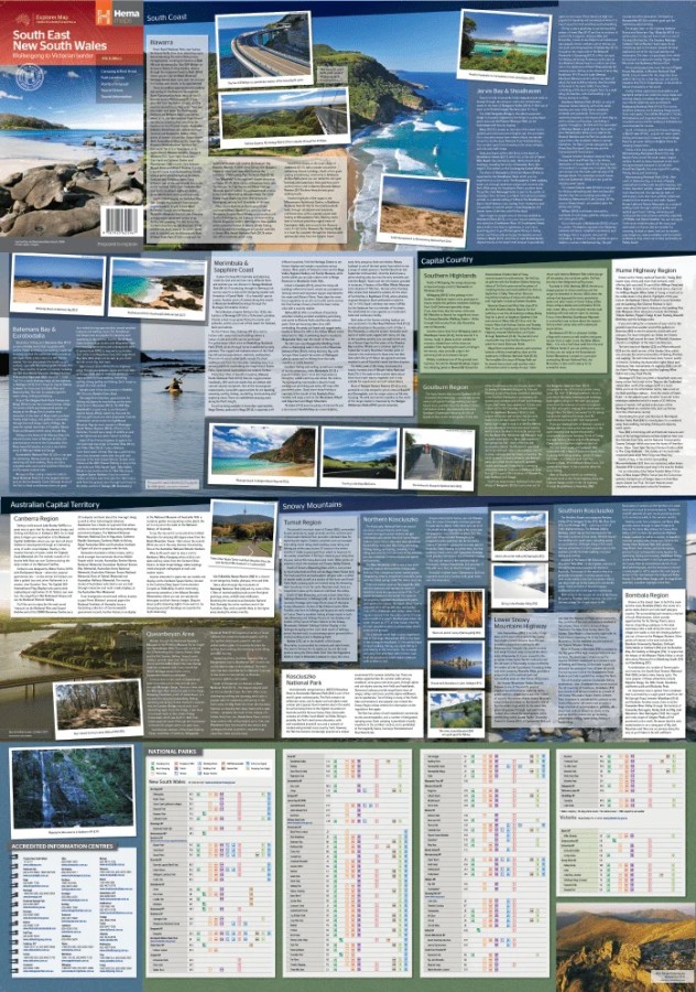
$15.95A regional map of South East New South Wales (1:385,000) that ranges from Wollongong down to the Victoria border and out to Gundagai and past Jindabyne in the West. Covered regions in the map include; Illawarra, Jervis Bay & Shoalhaven, Batemans Bay, Canberra & surrounds, Merimbula & Sapphire Coast, Southern Highlands, Goulburn Region and the Snowy Mountains. On the opposite side is extensive information on numerous regions, including visitor, historical and background information.
Key Features
Comprehensive map of South East New South Wales
Camping & rest areas
Fuel locations
Tourist drives
Detailed National Park Listing with facilities
Tourist Information Centres
- Description
Key Specifications
Edition: 5th
Publication Date: 12/03/2014
Scale: 1:385,000
Folded size (WxHxD): 140mm x 250mm x 3mm
Flat size (WxH): 700mm x 1000mm
Weight: 0.09kgs
Related Products

Craigie
Maps $16.00
Kydra
Maps $16.00
Lake Bathurst
Maps $16.00
Yambulla
Maps $16.00
