- Wishlist
- Sign Up
- My Cart (0)
Shopping Cart
Your cart is empty
You have no items in your shopping cart.
Continue Shopping
Let's go buy something!
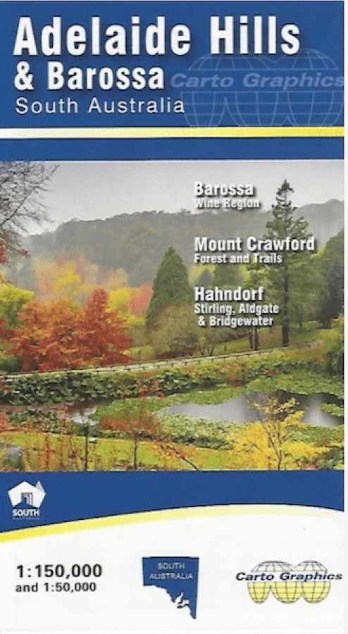
Adelaide Hills & Barossa Map
$12.95Adelaide Hills and Barossa Map (2nd edition)
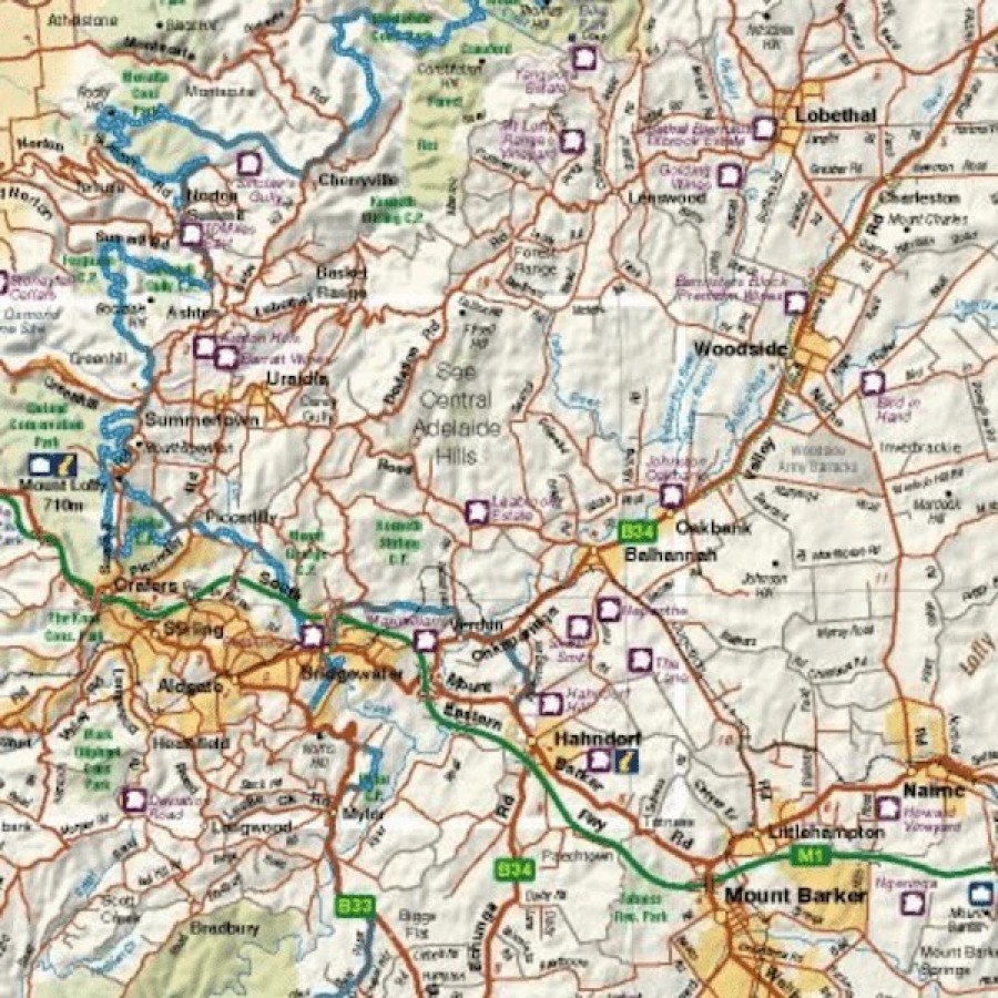
A detailed touring map of the Adelaide Hills and Barossa region at a scale of 1:150,000. Covers the Barossa wine region; Mount Crawford forest and trails; and Hahndorf, Stirling, Aldgate and Bridgewater. Clearly displays long distance trails, Heysen Trail, Mawson Trail, Kidman Trail, Lavender Federation Trail etc.
Includes 1:50,000 inset blow-up map of the central area, Crafers to Hahndorf. Map reverse side has 1:75,000 scale Barossa Wine Region map and 1:50,000 scale topographic standard map for the popular Mount Crawford Forest and surrounds. Index for Towns and localities, parks and reserves, winery cellar door
Key Features
Detailed roads
Road names
Parks and reserves
Winery cellar doors
Hill shading
Towns and localities index
Long distance trails
- Description
Key Specifications
Edition: 1st
Publication Date: 01/01/17
Scale: 1:150,000
Folded size (WxHxD): 140mm x 250mm x 3mm
Flat size (WxH): 685mm x 1000mm
Weight: 0.08kgs
Related Products

Nimmitabel
Maps $16.00
Hema North Island New Zealand Map
Maps $15.95
Hobart To Norfolk Bay
Maps $44.00
")