- Wishlist
- Sign Up
- My Cart (0)
Shopping Cart
Your cart is empty
You have no items in your shopping cart.
Continue Shopping
Let's go buy something!
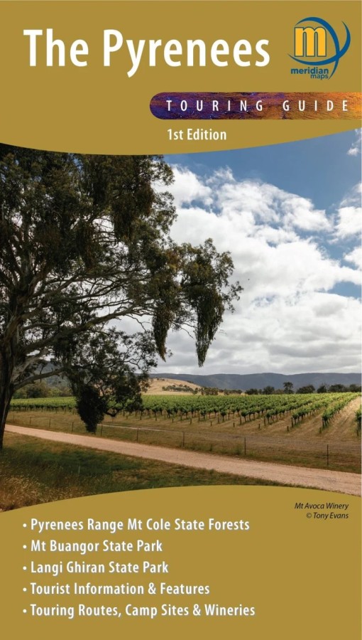

The Pyrenees Touring Guide
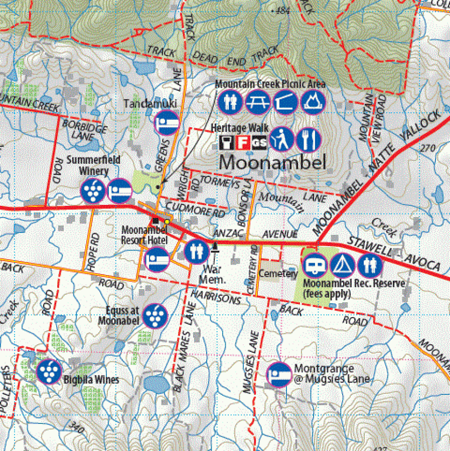
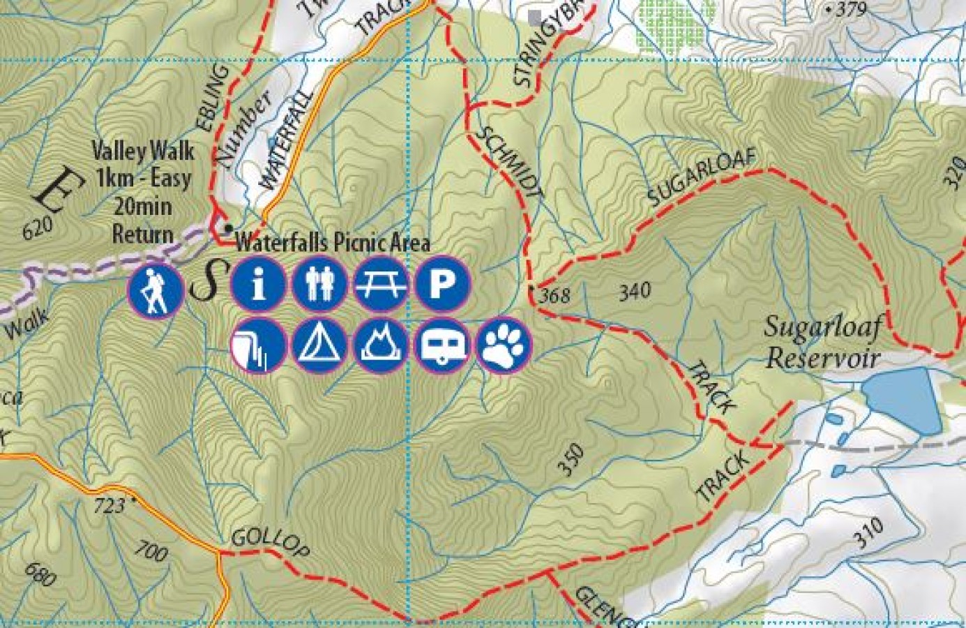
$14.95Double-sided 1:50,000 scale map covering the entire Pyrenees region from Beaufort to Redbank and Navarre to Avoca. Ideal 4-wheel drive and touring map which highlights all the tourist activities and features of the region such the wineries, historic areas, picnic grounds and more. Includes the long distance trail Pyrenees Endurance Track, as well as the walks around Mt Buangor and Mt Cole. Includes pet-friendly campgrounds, accommodation, local produce, petrol stations, waterfalls and more tourist information.
Key Features
1:50,000 Scale Maps
Latest vehicles track information
Walking tracks and camping areas
Suitable for use with GPS
Features Mt Cole State Forest and Mount Buangor and Langi Ghiran State Parks
Tourist information and features
- Description
Key Specifications
Edition: 1st edition
Publication Date: 1/08/21
Scale: 1:50,000
Folded size (WxHxD): 140mm x 250mm x 4mm
Flat size (WxH): 1000mm x 700mm
Weight: 0.09kgs
Related Products

Greg Greg
Maps $16.70
Hobart To Norfolk Bay
Maps $44.00
Hema North Island New Zealand Map
Maps $15.95
Hema Sydney To Brisbane Map
Maps $14.95
Yambulla
Maps $16.00