- Wishlist
- Sign Up
- My Cart (0)
Shopping Cart
Your cart is empty
You have no items in your shopping cart.
Continue Shopping
Let's go buy something!


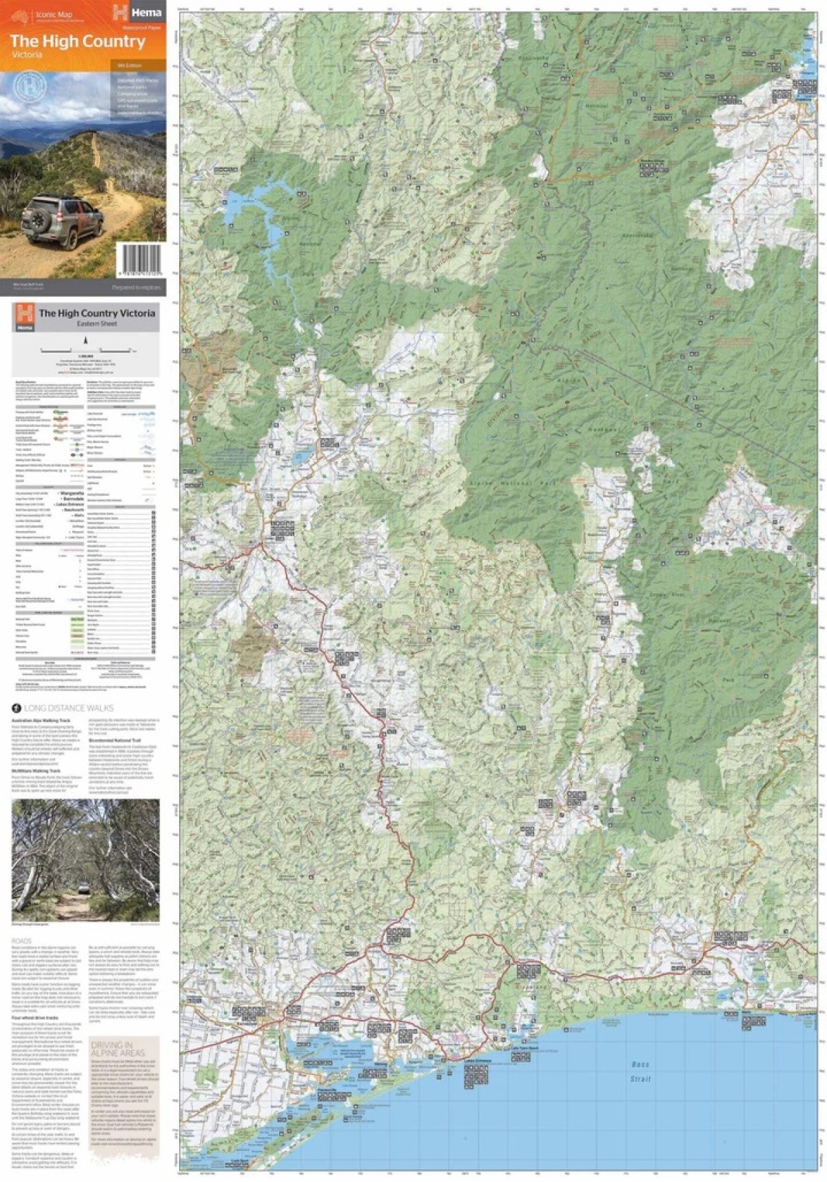
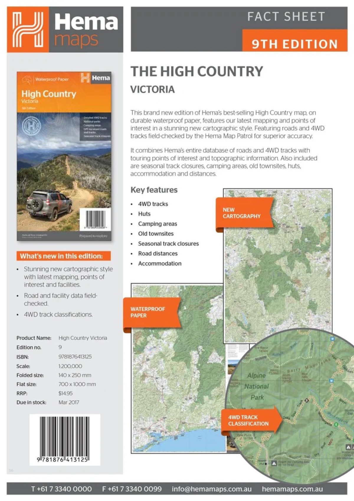
Hema The High Country Victoria Map
$14.95This edition of Hema’s best-selling High Country map, on durable waterproof paper, features Hema’s iconic mapping and extensive points of interest. Featuring roads and 4WD tracks field-checked by the Hema Map Patrol for superior accuracy.
It combines Hema’s entire database of roads and 4WD tracks with touring points of interest and topographic information. Also included are seasonal track closures, camping areas, old townsites, huts, accommodation and distances.
Map includes the Victorian High Countries’ most iconic tracks such as:
Wonnangatta (Zeka Spur)
Billy Goat Bluff
Ingeegoodbee Track
Mount Pinnibar
Blue Rag Range Track
Key Features
4WD tracks
Huts
Camping areas
Old townsites
Seasonal track closures
Road distances
Accommodation
- Description
Edition: 9th
Publication Date: 01/03/17
Scale: 1:1,200,000
Folded size (WxHxD): 140mm x 250mm x 3mm
Flat size (WxH): 700mm x 1000mm
Weight: 0.09kgs
Related Products

Yambulla
Maps $16.00
Pambula
Maps $16.00
Wyndham
Maps $16.00
Craigie
Maps $16.00
Greg Greg
Maps $16.70