- Wishlist
- Sign Up
- My Cart (0)
Shopping Cart
Your cart is empty
You have no items in your shopping cart.
Continue Shopping
Let's go buy something!

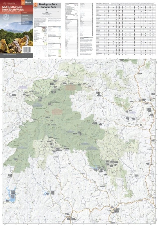
Hema Mid North Coast New South Wales Featuring Barrington Tops NP Map
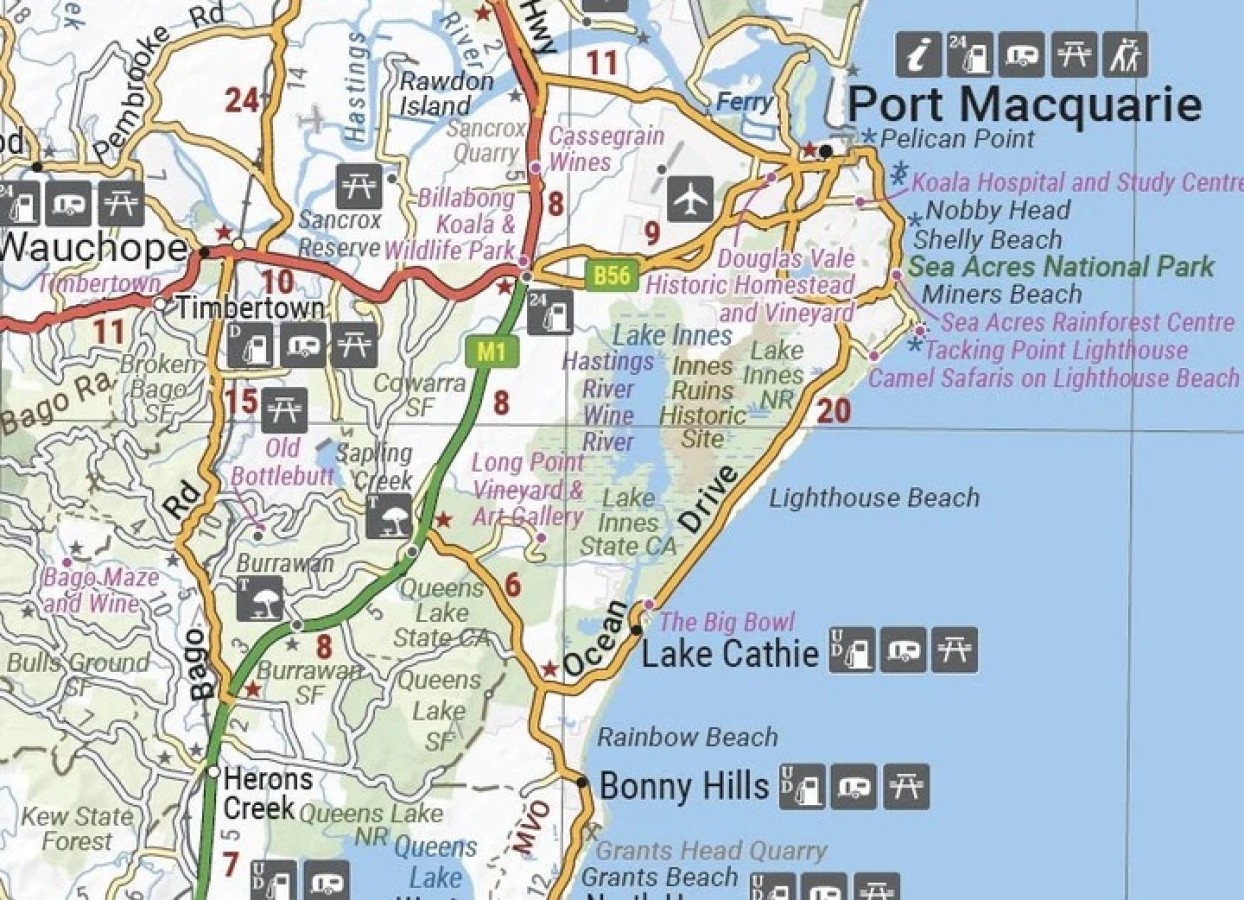
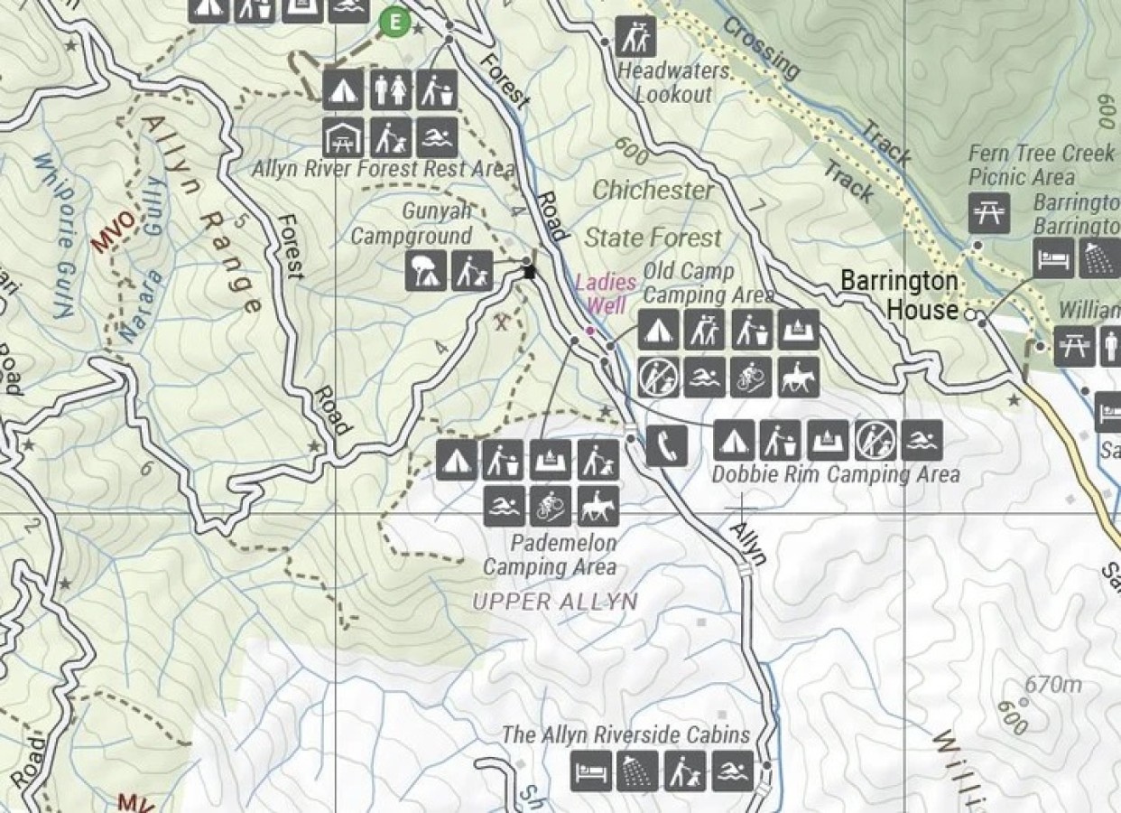
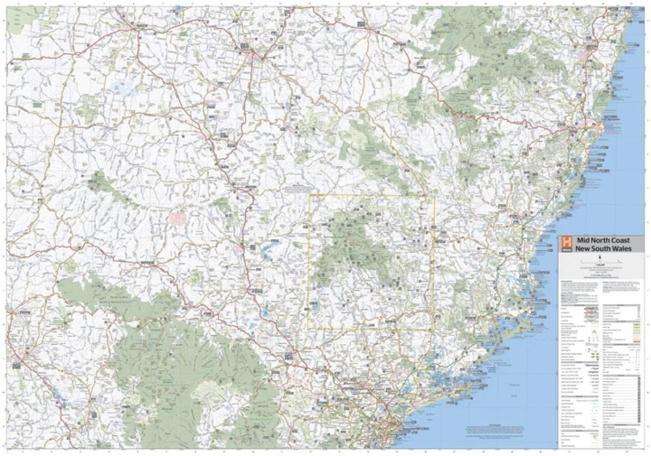
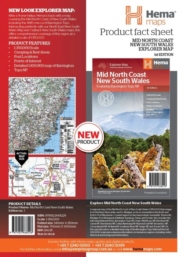
$14.95A regional map of the Mid North Coast of New South Wales (1:350,000) that ranges from Northern Newcastle, west to Mudgee, as far as Gunnedah in the North and East to Port Macquarie. Covered regions in the map include; Gunnedah, Tamworth, Mudgee, Port Macquarie, Maitland, Kempsey, Taree, and Forster. Also includes the following National Parks; Barrington Tops NP, Oxley Wild Rivers NP, Hat Head NP, Carrai NP, Werrikimbe NP, Cottan-Bimbang NP, Mummel Gulf NP, Nowendoc NP, Curracabundi NP, Wollemi NP, Goulburn River NP, Yengo NP, and Towarri NP. On the opposite side is a detailed inset map of the Barrington Tops National Park (at 1:100,000 scale) plus extensive information on numerous regions, including visitor, historical and background information.
Key Features
Comprehensive regional map of the Mid North Coast of New South Wales
Camping & rest areas
Fuel locations
Points of Interest
Detailed map of Barrington Tops National Park (at 1:100,000 scale)
Detailed National Park Listing with facilities
Tourist Information Centres
- Description
Key Specifications
Edition: 1st
Publication Date: 1/09/2022
Scale: 1:350,000
Folded size (WxHxD): 140mm x 250mm x 3mm
Flat size (WxH): 700mm x 1000mm
Weight: 0.09kgs
Related Products

Gowan
Maps $16.00
Cowra Creek
Maps $16.00
Hallwag France Map
Maps $15.95")