- Wishlist
- Sign Up
- My Cart (0)
Shopping Cart
Your cart is empty
You have no items in your shopping cart.
Continue Shopping
Let's go buy something!

Maps
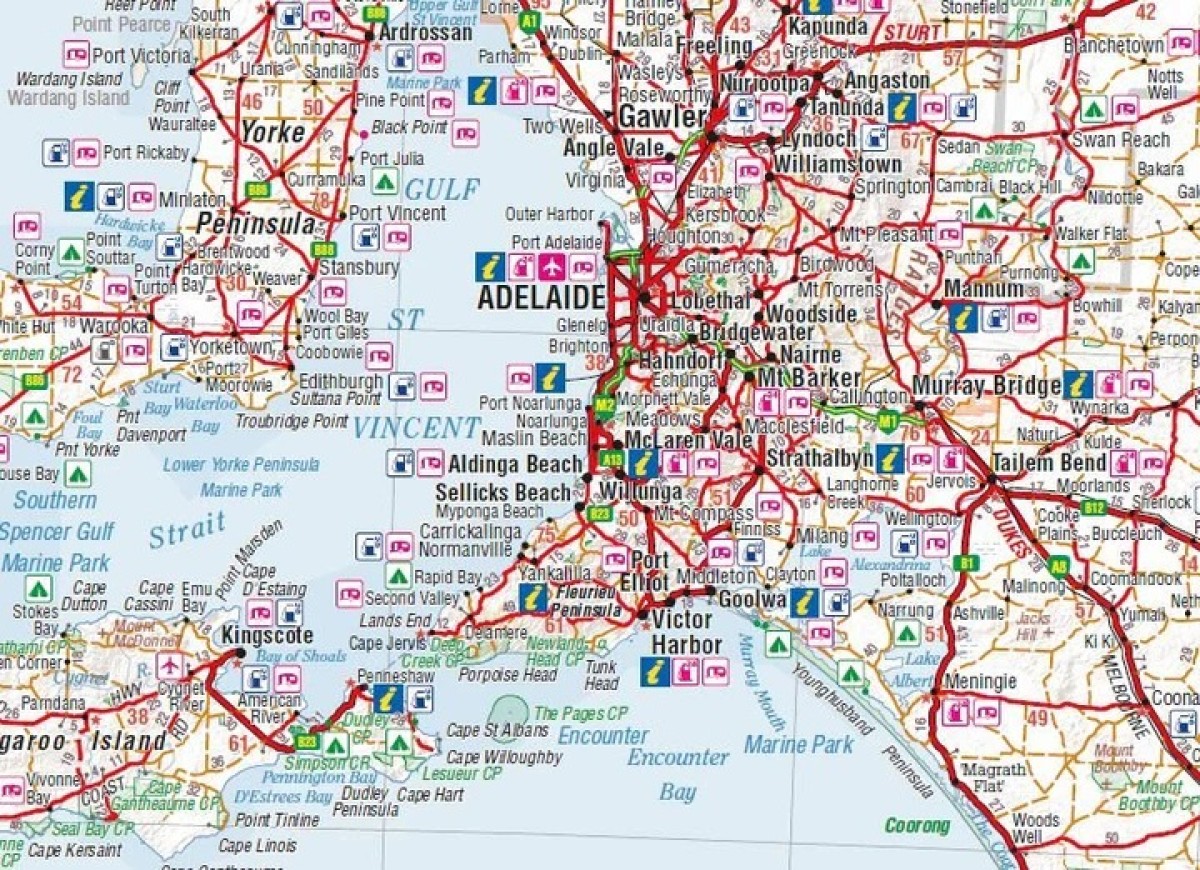
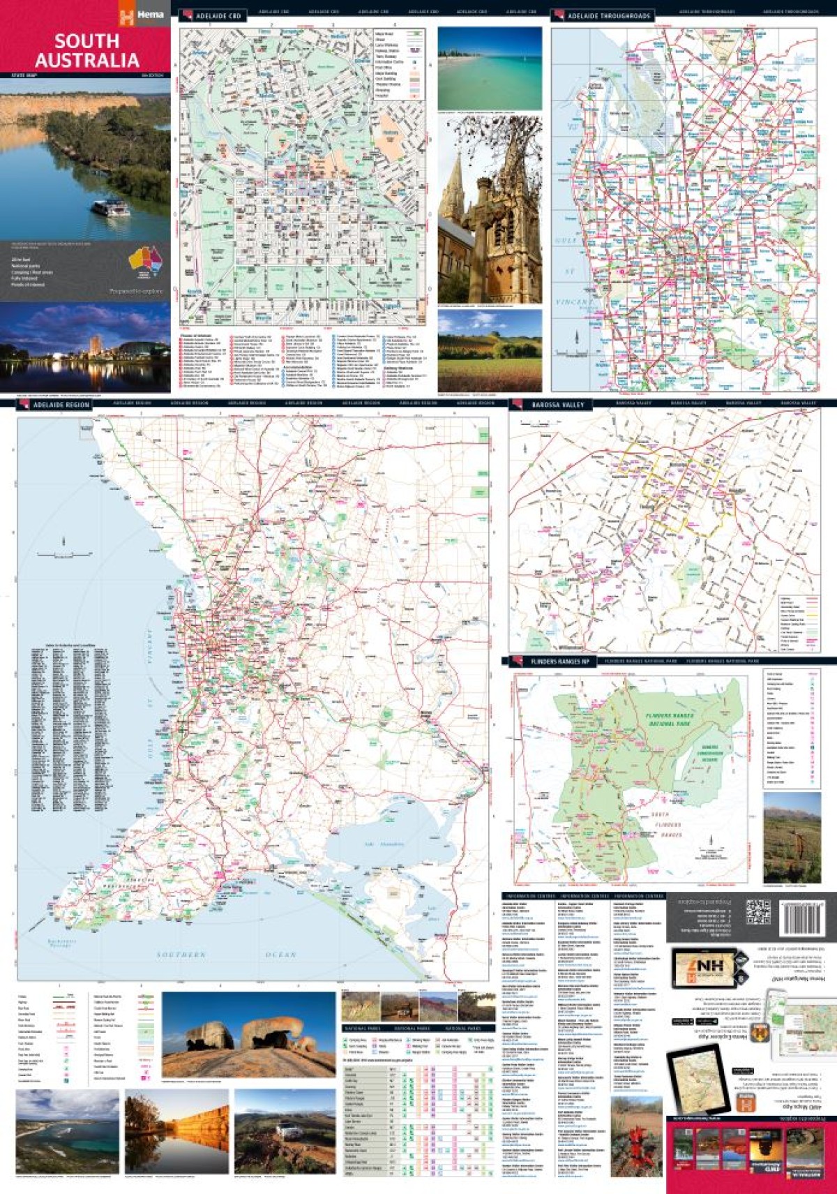
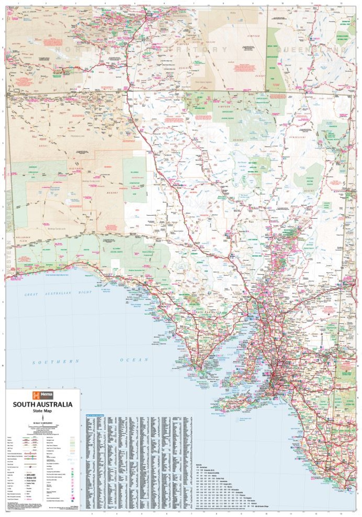
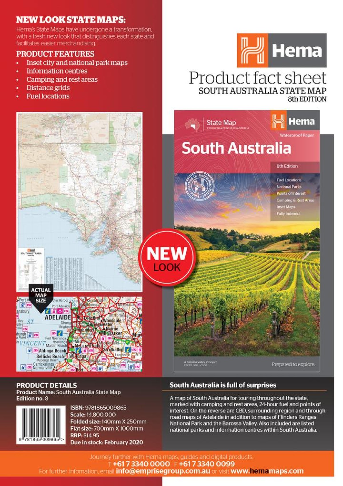
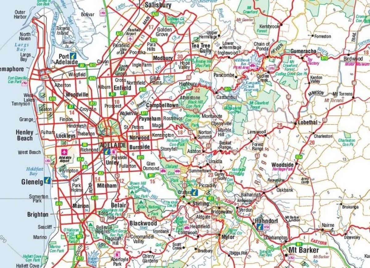
Hema South Australia State Map Large
$15.95A map of South Australia for touring throughout the state, marked with camping and rest areas, 24-hour fuel and points of interest. On the reverse are CBD, surrounding region and through road maps of Adelaide in addition to maps of Flinders Ranges National Park and the Barossa Valley. Also included are listed national parks and information centres within South Australia.
Key Features
Inset city and national park maps
Information Centres
Camping & Rest Areas
Distance grids
Fuel locations
Points of interest
Fully Indexed
Description
- Description
Edition: 8th
Publication Date: 20/10/14
Scale: 1:1,800,000
Folded size (WxHxD): 140mm X 250mm x 3mm
Flat size (WxH): 700mm X 1000mm
Weight: 0.09kgs
Related Products

Davies Plain
Maps $16.00
Hobart To Norfolk Bay
Maps $44.00
Greg Greg
Maps $16.70
Pambula
Maps $16.00")